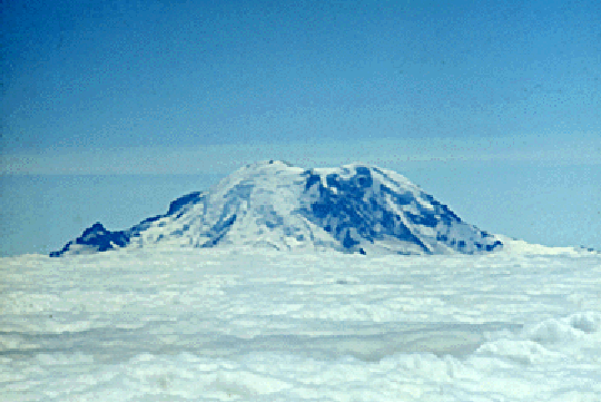
Stratus
Low-level, stable, non-precipitating cloud layer. The airmass above the stratus layer may be distinctly different (drier, warmer). In this case, the base is about 500 m MSL and the top about 2.3 km. The mountain in the distance is Mt Rainier in the northwestern USA.
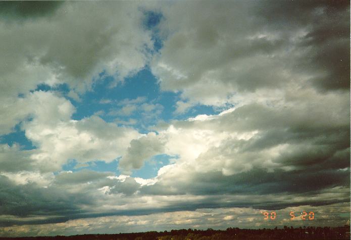
Stratocumulus
Shallow, stable, non-precipitating cloud. Differs from stratus in that it is broken. Stratocumulus often results from PBL-based cumulus, that encounters a stable layer and is forced to spread laterally.
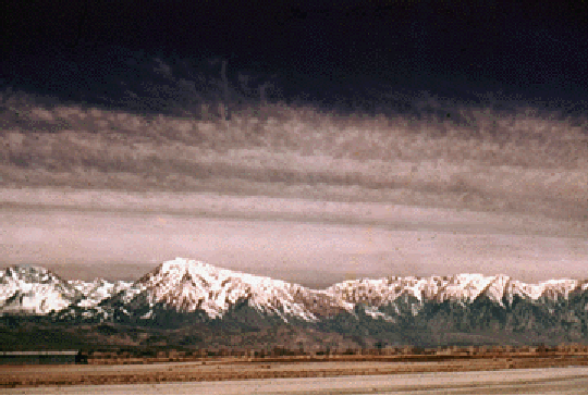
Altostratus
Mid-level (about 2-8 km), stable cloud layer. Indicative of widespread stable ascent. Fall streaks (virga) are possible but precipitation rarely reaches the ground. Altostratus consists of supercooled droplets or ice crystals. Altostratus may be associated with an approaching frontal disturbance. In this case altostratus signifies the possibility of rain within 10 -15 hours if the wind is steady and veers with height, typically from southeast to southwest (in the southern hemisphere, the wind backs from north to west).
Cirrostratus
High-level (> 8 km), stable cloud layer, consisting of ice crystals. The sun can be seen through cirrostratus, and it may be surrounded by a halo.
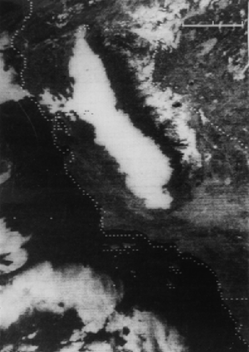
Fog
Fog is a stratus cloud in contact with the ground. Fog is common in valleys on winter mornings, due to nocturnal raditional cooling and drainage flow. The visible satellite image on the left shows fog in the California central valley. The bar in the upper right is 200 km long.