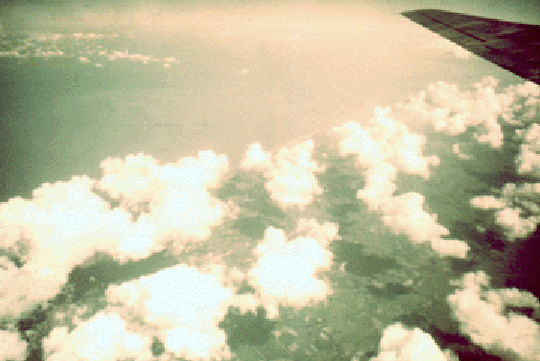
Cumulus humilis
Small fair-weather cumulus clouds. Normally non-precipitating, but may grow rapidly into a precipitating cloud, when heated from below, or lifted over rising terrain, for instance. Most common in the afternoon near the top of the well-mixed planetary boundary layer. In the picture on the left, the cumulus cloud field is limited to land, illustrating a large difference between the marine PBL and the land PBL. The area in the upper left is ocean. A sea breeze is likely near the coast.
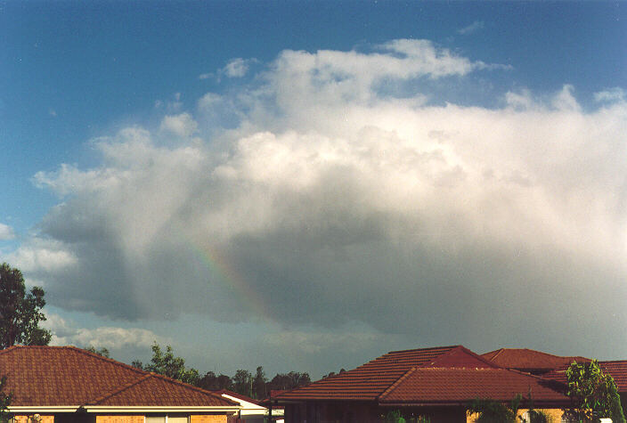
Cumulus mediocris
This example, taken by Jimmy Deguarra in Oakhurst near Sydney, Australia, is obviously rather shallow but produced some rain (evident in the rainbow).

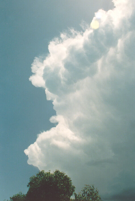
Cumulus congestus
Deeper cumulus cloud, possibly in a short-lived stage before heavy precipitation falls. Tops evolve quickly but don't have an anvil.
Cumulonimbus
Thunderstorm cloud with precipitation. The picture on the left, taken by Jimmy Deguarra in Oakhurst near Sydney, Australia, shows the early stages of the formation of an anvil. The bulging, darker billows in the anvil are mammata.
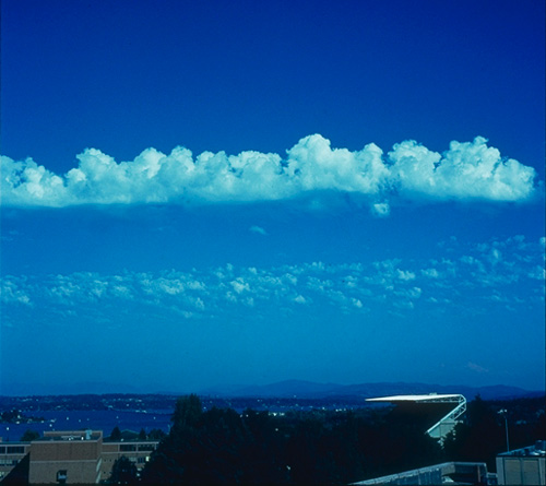
Altocumulus castellanus
Altocumulus are cumulus clouds not resulting from heating on the ground, i.e. they do not form on top of a deep convective PBL. Rather, they form within a mid-level less-stable layer, separate from the ground. In this case (castellanus), the clouds are shaped like turrets, indicating convective motion in weak shear. Thunderstorms are possible on days with Ac castellanus, if surface-based convection can connect to the mid-tropospheric unstable layer. (photo by A. Rangno in Seattle).
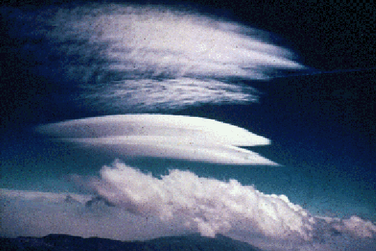
Altocumulus lenticularis
Lens-shaped clouds in the lee of a mountain range. In the picture on the left, the family of lee-wave clouds includes a turbulent low-level roll cloud, a smooth mid-level Ac lenticularis (two cloud layers actually), and a smooth, more thin cirrocumulus lenticularis (again two cloud layers).
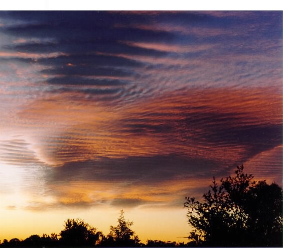
Altocumulus undulatus
Stable cloud (often altostratus) modulated by wave motion. The picture on the left, taken by Jimmy Deguarra in Oakhurst near Sydney, Australia, shows a series of short waves within a broad Ac lenticularis cloud.
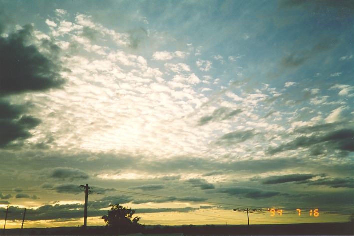
Cirrocumulus (usually undulatus)
Stable cloud layer (usually cirrostratus), usually broken by wave motion (photo by J. Deguarra near Sydney Australia). Occasionally cirrocumulus results from upper-tropospheric convective motion. In this case fallstreaks (virga) are commonly present.