Sydney’s ozone pollution
|
E. Linacre |
7/'98 |
![]()
Geographical setting
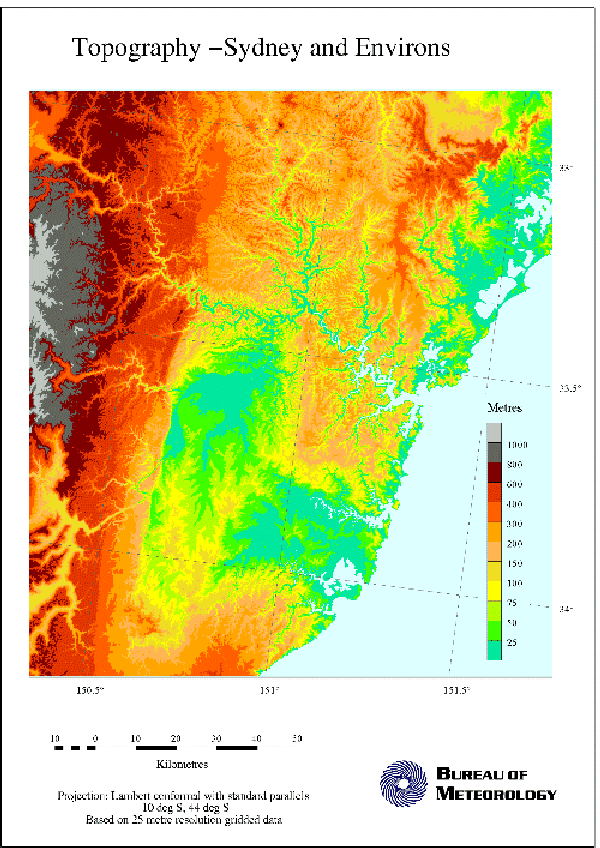
Sydney, a coastal city in Australia with a population of 3.8 million people, is surrounded by the Dividing Range of mountains, about 1000 m high and parallel to the coast, 75 km inland of the city, and the plateaux, 200 m high, to the north and south. Because of its geography, it has long had a problem with air pollution, in particular ozone. A previous study of the synoptic situations associated with days of high pollution showed the importance of the following -
- a high pressure area offshore, producing a northerly gradient wind over Sydney,
- a strong subsidence inversion, with anomalously warm, dry air aloft,
- a ground inversion at sunrise,
- a reduced mixing depth above the ground.
The Metropolitan Air Quality Study
In 1992, the Metropolitan Air Quality Study was launched (1), and as a result the air-quality monitoring network has become more dense and detailed, air quality reports are issued twice daily, and an inventory of emissions has been compiled. Using this inventory and the high-resolution observational network, a high resolution coupled atmospheric-chemical model simulating mesoscale airflow and evolution of chemical species such as ozone has been run, over a domain measuring 210 km east-west and 260 km north-south. This includes the cities of Newcastle about 100 km north of Sydney, and Wollongong at 60 km to the south. Both of these cities produce significant industrial emissions. The model's horizontal resolution was 3 km.
Pollutants are either global (notably carbon dioxide), regional (mainly photochemical) or local (carbon monoxide, sulphur dioxide and lead). The second category is of most concern to Sydney. Ozone and associated chemicals are ‘secondary pollutants’ in the lower atmosphere, the product of photochemical reactions between the ‘precursors’ - oxides of nitrogen (NOx) and reactive organic compounds (ROC’s or hydrocarbons) - which are primary emissions. Ozone concentrations below the following are goals established by the World Health Organisation as adequate to protect people from health hazard; 0.08 parts per million (ppm) averaged over an hour, or 0.06 ppm over 8 hours. Higher concentrations damage the lungs and heart. Currently the annual worst-hour concentrations of ozone in Sydney are up to 0.15 ppm.
Another problem is a brown haze, due to particles finer than 10 microns in diameter. Brown haze occurs most commonly within the ground inversion on winter mornings. The particles come from motor vehicles, open fires, domestic combustion heaters, industry, soil, and sea spray. They reduce visibility (2), and in New South Wales the conditions are reckoned hazardous when visibility falls below 9 km.
The number of monitoring sites was increased from 10 over the whole region to 25 permanent sites and two mobile sites, by 1994. The latter included 17 permanent sites in the Sydney region. At each site, measurements were taken of the pollutant gas concentrations and of wind velocity and direction. These were used twice daily to calculate and publicise individual Regional Pollution Indices (RPI) for three parts of the Sydney region and for the cities north and south. A high RPI, for instance, means any one of the following - ozone above 0.10 ppm, NOx above 0.16 ppm, or visibility less than 9 km. Six such days were selected for case study examination.
Monitoring data were fed into a mesoscale atmospheric simulation model, which simulated the air movements and the spread and chemical evolution of pollutant plumes. This provided estimates of concentrations anywhere in the region throughout the day. Hence the main sources could be identified, and warnings issued for the most hazardous locations.
The mesoscale circulation in the Sydney basin
The development and dispersion of pollutants in Sydney depend on the prevailing (gradient) wind and the cloudiness. Typical circumstances involve a shallow layer of cold air draining off the elevated surroundings into the Sydney basin and eastwards out to sea, accumulating primary pollutants as it goes, from morning peak-hour traffic, for instance. Then the onset of a sea breeze from the north east (usually) carries the pollutants back inland, south of the city’s business district (3). Another pattern of events sometimes occurs west of the city, when southerly drainage flows combine with northerly gradient winds to create a vertical cell of movement along the Hawkesbury Valley, which lies parallel to the coast. Then pollutants collected in the drainage flow one day are lofted by the hills into the gradient flow, then carried south, and mixed down to the surface the next day. A third pattern consists of a clockwise horizontal circulation of air when there is an inland surface drainage which is southerly and then westerly down the valley to Sydney and out to sea, followed by the influence of a north-easterly gradient wind and sea breeze. Sometimes the pollution concentration in Sydney is affected by conditions in Newcastle to the north, and less often those in Wollongong. In each case, the pollution blows out to sea in the morning, is then moved by the gradient wind and later blown back over Sydney in the sea breeze. Photochemical reactions between the primary pollutants can occur during these various movements, so that ozone concentrations reach a maximum far downwind of the original precursor emissions.
Hydrocarbons, NOx, ozone, and mesoscale flow
The necessary ingredients for the photochemical reactions are a) the precursor chemicals, b) sufficient sunlight, and c) adequate warmth. Motor vehicles are a major source of the required NOx and hydrocarbons. The extent of the reaction can be considered in terms of the degree to which the nitric oxide (NO) component of the NOx has become converted to NO2 (3). Ozone formation is initially and finally limited by the amount of NO in the air, produced in the morning and left unconverted late in the afternoon, respectively. The rate between times is governed by the amount of sunlight. The maximum concentration in a plume is normally reached in the early afternoon, some hours after the precursors were emitted. It can be seen that measured data on the NO, NOx, ozone concentrations and radiation levels every two-minutes, say, permit calculation of the ozone status of parcels of air in the region.
The results of the calculations show that parcels in the eastern, coastal parts of the city (where people live) contain ample fresh emissions of NOx, so that ozone formation is chiefly limited by the amount of sunlight. On the other hand, ozone formation at places west of the city is controlled by the amount of NOx emissions present, more than the level of sunshine. Conditions are intermediate in the central part of the city.
The spread and reactions of anthropogenic sources of emissions in the Sydney region were determined using model output. NOx and carbon monoxide come almost entirely from mobile sources such as cars, rail, shipping, planes. Half the hydrocarbons also, and a third of the total suspended solids (TSP). However about two-thirds of sulphur dioxide comes from industry. The fractions are not constant. About 10% of the hydrocarbons were due to leaks from the reticulation of natural gas, until repairs were carried out. TSP emissions come primarily from mobile sources and industry in summer but from domestic heaters in winter. There is also pollution from vegetation, soil and the ocean, especially in the warmth of summer when up to 28% of the airborne hydrocarbons in Sydney arise naturally.
These findings affect the strategy to be adopted to reduce ozone pollution. Previously the aim had been to reduce hydrocarbon emission, but now it becomes evident that NOx must be considered also. It appears that introducing further NOx-producing industry in the east will have little effect because sunlight and hydrocarbons are the limiting factor there. However, such industries to the west contribute significantly to the regional pollution problem. The consequences of future development can be assessed with the computer model of the airshed.
The situation will be aggravated by the expected 30% growth of the city’s population to 4.5 million by 2021, whilst dispersion of the population is hampered by the national parks to the west, north and south and the ocean to the east. A range of strategies will be needed to prevent worse conditions, including better urban design and use of motor vehicles.
References
(1) Dyer, A. and S. McPhail 1996. Metropolitan Air Quality Study (Environment Protection Authority, New South Wales) 50pp.
(2) Linacre, E.T. 1992. Climate Data and Resources (Routledge) 366pp.
(3) Azzi, M. and G. Johnson 1994. Photochemical smog assessment for NOx emissions, using an IER-reactive plume technique. Clean Air 1994 - Proc. 12th Internat. Conf. of the Clean Air Soc. Australia and New Zealand.